http://en.boonray.com/data/upload/202011/20201103105545_459.png

Boonray Technology" Intelligent-Fly System"

Autonomous Flight, Intelligent Decision-making
The system includes an automatic flight algorithm independently developed by Boonray, an airborne sensing control unit, ground station software, and a cloud task management system. The system collects the geographic data of relevant air routes and performs quantitative analysis on the indicators to make the flight routes safer and more scientific and can meet the needs of complex tasks and emergency tasks.

Automatic Flight Algorithm

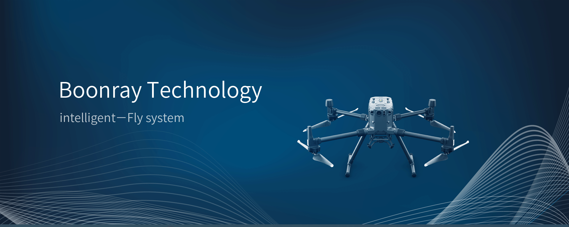
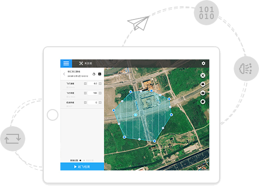
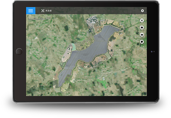
Accurate and reliable automatic flight algorithm can realize multi-terrain, all-round real-time environment perception and centimeter-level high-precision positioning. At the same time, it intelligently recognizes various objects, defects, and emergencies, and provides highly reliable decision-making suggestions.

Airborne Sensing Control Unit
Curie Ⅲ
Image Recognition Realtime-Positioning & Map Building Terrain Tracking Flight Control

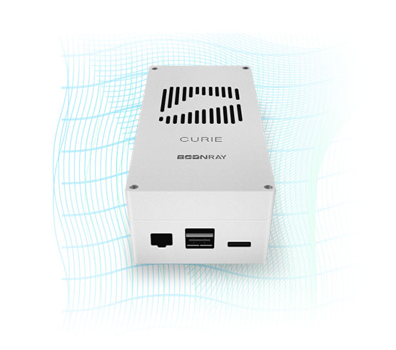
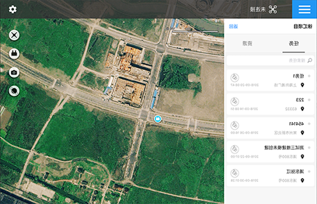
Curie Ⅲ harnesses the power of deep neural networks to conduct image processing. It is able to carry out real-time detection and recognition of objects. Using synchronised inputs from the IMU and camera, vision capabilities like vision-based SLAM are established, enhancing the positioning accuracy of the flight platform. It integrates seamlessly with the 4G module, thus enabling bi-directional communication with Boonray Cloud and hence fully automates the flight control of the drone, along with real-time data transmission from the drone to the platform. The flight data includes processed video stream ready for high definition broadcast. Typical applications include security monitoring systems such as human traffic monitoring in public spaces and vehicle traffic monitoring on roads.


Voltage: 12V

CPU:A57

GPU:Pascal

Ram: 8GM DRAM

Internal Storage: 32G

Ground Station Software

  • Flight Route Planning

    Flight Route Planning

    An application built meticulously by Boonray Technology, Boonray Flight has realized the digitalization and automation of drone flight route planning. The days of tedious and laborious route planning are long gone. Boonray flight collects geographic data from relevant routes and analyzes them quantitively, making flights more secure and accurate. Flight missions can then be more complicated; even emergency response missions are possible.
  • Setting of Flight Area

    Setting of Flight Area

    Many shape selections (polygon, rectangle, circle, line) are available, covering different types of photography scenarios, from orthophotography to 3D modelling. Flight planning becomes more accurate and convenient.
  • Flight Route Continuation

    Flight Route Continuation

    Flight mission can be paused anytime, records will be saved such that the user can always resume the mission from where they left off. Settings can be personalized, with practicality in mind, to provide a pleasant flight experience.
  • Base Map Settings

    Base Map Settings

    Using 2D maps synthesis functions, an aerial map of the target area be formed quickly and efficiently. Users only need to complete the aerial photography of a target area. Afterwhich, the user simply import the images into the software for processing to form the complete 2D map of the target area. At the same time, users can make edits and improvements to the final result, to create an even more realistic environment.

Cloud Task Management System

  • Cloud Interconnection

    Cloud Interconnection

    There are many types (polygon, rectangle, circle, waypoint) to choose from,
    It is suitable for the flight requirements of different shooting scenes such as orthophotos and 3D. It has a wider range of use, stronger adaptability, and more accurate and convenient route drawing.
  • Account Control

    Account Control

    Assigning permissions by projects makes project management clearer,
    The task progress is timely grasped, the resource allocation is reasonable, scientific and efficient.
  • Task List

    Task List

    Boonray Zhifei saves every task,
    Clearly display the unstarted, suspended, and completed flight tasks, and the corresponding time, to provide convenience for users to quickly view and perform flight tasks.

er.png
微信公众号

Shanghai Headquarters Address: 6F, Block B, Building 1, No. 800, Zhangjiang Naxian Road, Pudong New Area, Shanghai

Tel: 021-58212107                              Post Code: 200124

Address of Hangzhou Branch: Building 9, No. 1818-2, Wenyi West Road, Yuhang Street, Yuhang District, Hangzhou

Contact number: 0571-87562630       Zip code: 311121

Email: sale@boonray.com

Follow us
65.8K

沪ICP备17037264号-2 37.png

Copyright©2018 Shanghai Boonray Intelligent Technology Co., Ltd. All rights reserved

Terms of use      Legal Notices